I was supposed to meet a friend yesterday and do a sort of photo-walk. He’s got something planned that requires a specific sort of urban photography–street scenes without people. We agreed to meet at the top of a parking garage at 0930. That would give us the last of the morning light, and at that time of day most city workers would be at their desks instead of loitering around the street. The delivery drivers would have unloaded most of their goods by then, and the unemployed folks would probably still be in bed or having coffee.
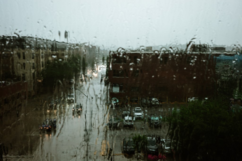
We hadn’t counted on the storm, which arrived almost precisely at 0925. My friend had the good sense to turn around and go back home. Me? I’d arrived early (an old PI habit; you always get there early and check out exits). I was atop the parking garage watching the storm come. It was impressive. Lightning, thunder, wind, the complete package.
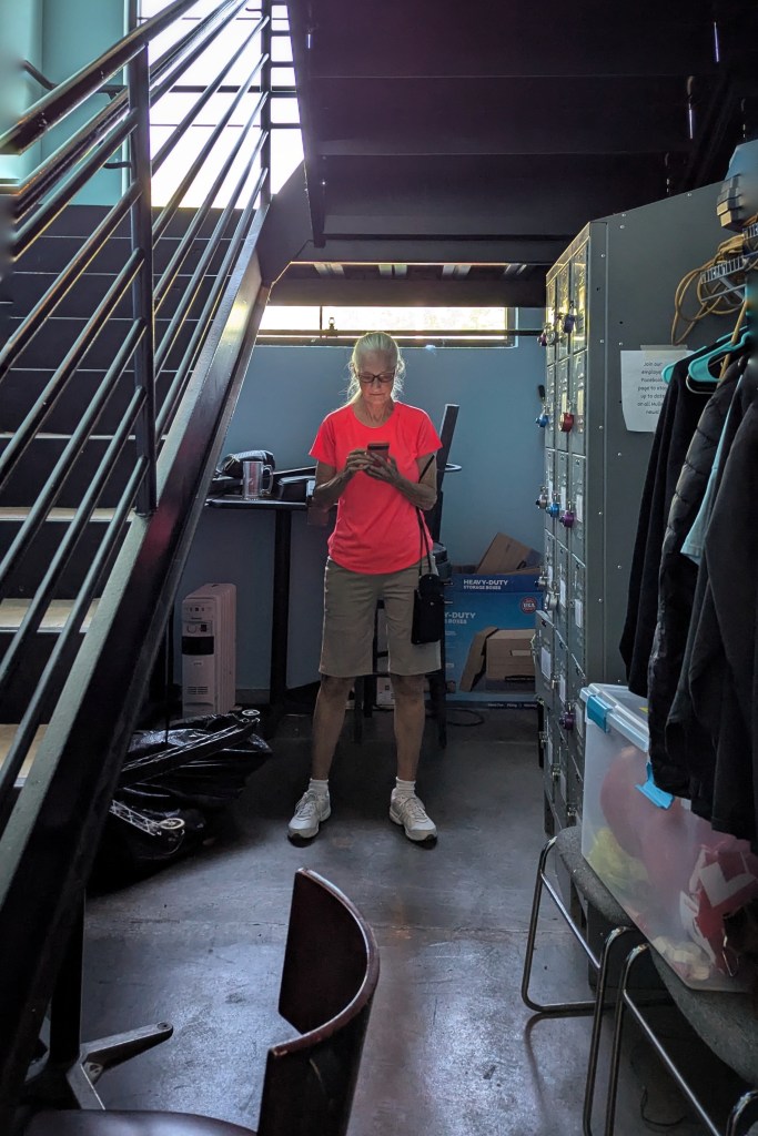
I do love a good storm. My camera, however, does not. My little Ricoh GR isn’t waterproof. It’s not even weather-resistant. I’ve had it out in a light sprinkle, but that’s it. This wasn’t the sort of storm that begins with a few tentative drops; this arrived as a goddamn deluge. I took shelter in a rooftop elevator lobby…at the opposite end of where my car was parked.
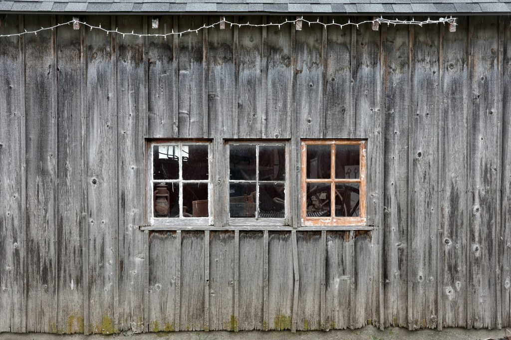
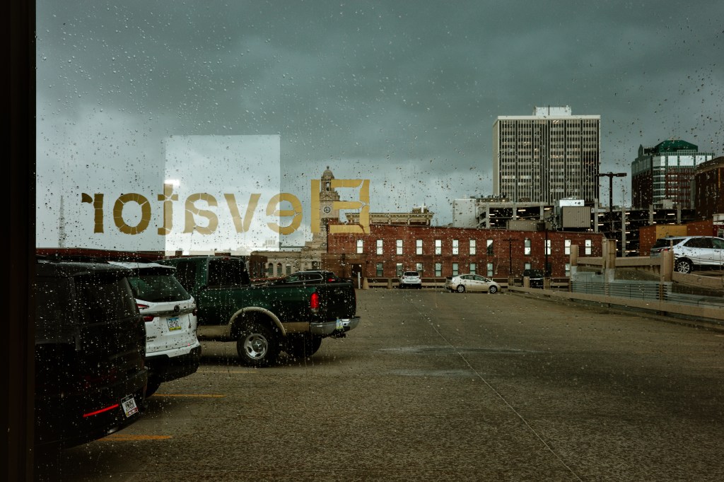
I was dry, but effectively trapped. That gold Prius in the photo below? That’s my car. Without a camera, I might have made a run for it. But nope.
I didn’t mind being trapped, really. I was dry, my camera was dry, and I figured the rain would let up eventually. I just had to be patient (which reminds me: a million years ago when I was in high school and got in trouble (again), the Boys Advisor told me that patience was my only redeeming quality). Besides, there were windows in the stairway beside the elevator, so I had stuff to look at. And, as I said earlier, I enjoy a good storm.
After about ten minutes, I remembered something obvious. The city of Des Moines has a skywalk system. And (I believe) it connects every public parking garage in the city center. So I wasn’t trapped at all. I just had to find the skywalk entrance and I was free to wander around.
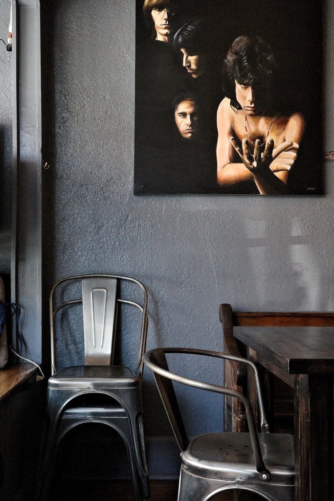
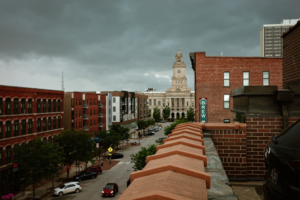
I used to spend a lot of time in the skywalk system. It’s been somewhat diminished over time; a major urban fire cut off a large central chunk, as did some urban renewal. It’s not quite as extensive as it once was, but it still covers about four miles and connects over fifty buildings and parking ramps. The skywalk is climate-controlled–heated in the winter, air-conditioned in the summer. There are coffee shops, barbers, law offices, restaurants, small markets along parts of the skywalk. It used to be one of my favorite places for photography.
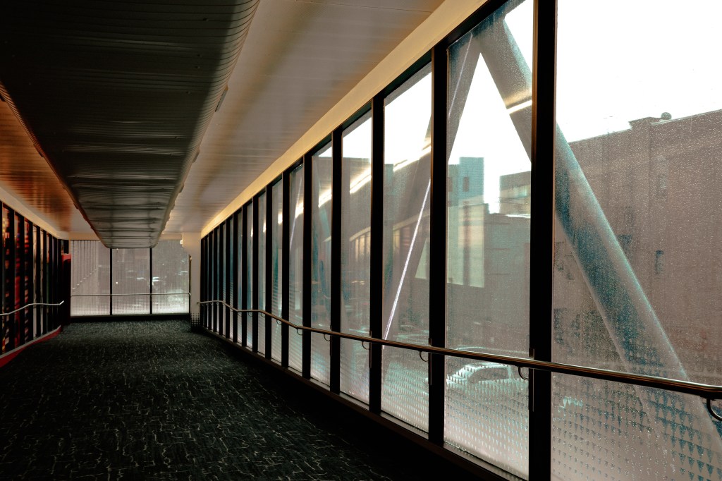
The thing about the skywalk is that it zigzags all through the downtown area. It not only connects building (hotels, banks, businesses, apartment buildings), it sometimes passes between them or behind them or through them. It crosses streets, rambles above alleyways, sidles up against structures, and reveals parts of the city you might otherwise never see. And reveals them from perspectives you wouldn’t otherwise get.
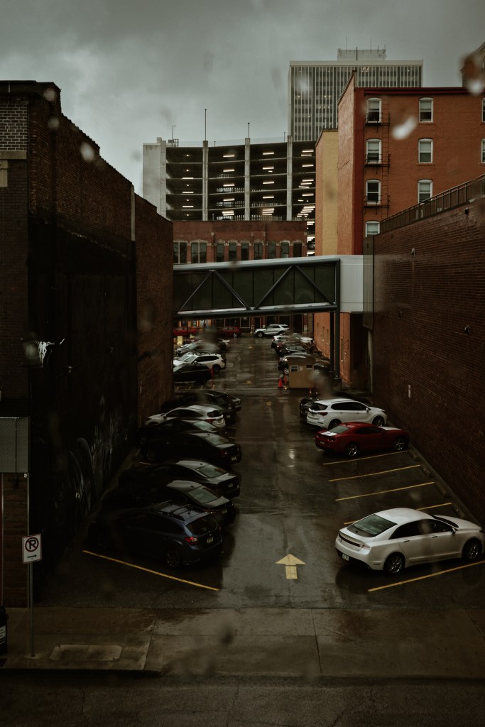
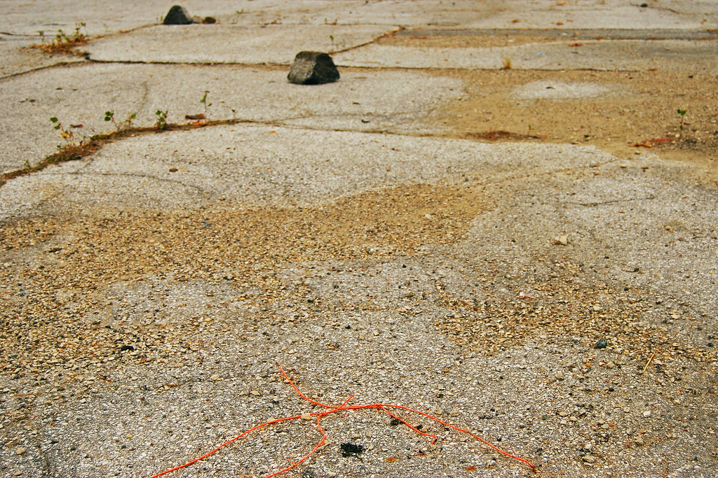
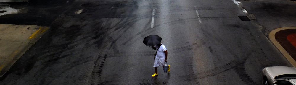
I roamed the skywalk for maybe half an hour, then the storm passed, the rain stopped, and the sun came out. I found the nearest exit to the street level, stepped outside and shot this photograph. The post-storm light was delicious…for about ten minutes, at which point the city became unbearably humid. I should have stayed in the skywalk. Instead, I hiked the streets back to the parking garage, got in my car, and went home.
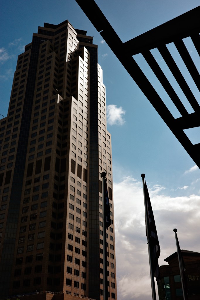
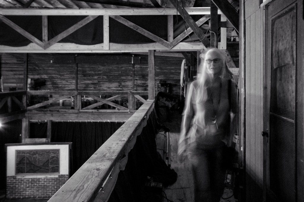
I didn’t get to meet my friend (we’ll reschedule for next week) or shoot the sort of photographs he needs/wants. But I had a good time and stayed mostly dry. After a month of shooting mostly monochrome, it was difficult to think in terms of color again. I did shoot a lot of high contrast monochrome photos during my walk, but I decided to stick to color for this blog. It was refreshing to think about color again. Refreshing…I guess that’s what rain is for.
It worked.